
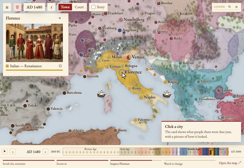
A family of interactive maps that paint cultural practice across Europe, North Africa, and the Near East, east to the Indus, over continuous historical time. Each map asks one question of every town in every year and colours the answer.
Drag the year slider and the regional colours change. Each style has its own keyframed shape and intensity over time, so it can split off, spread, hold, lose ground to a neighbour, or come back. Click a city to see what was active there, with reference plates of how it looked.
- maps
- 5
- researched styles
- 750+
- years of timeline
- 62,000
How a map reads
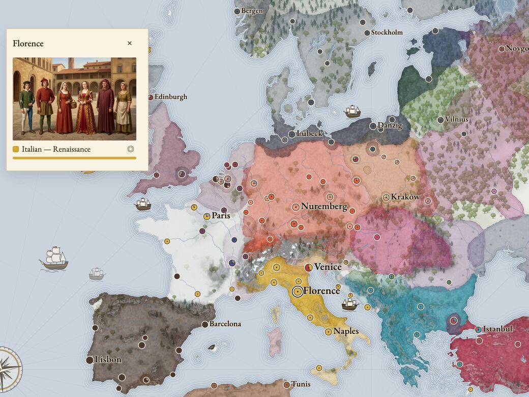
Each map states what its colour measures. The architecture map shows the share of current construction in a style; a separate reading shows the buildings still standing. The clothing map shows what people in town wore day to day. The technologies map shows the kit people still thought of as new, with newer tools drawn over the older ones.
A Romanesque church still standing in 1450 does not keep Romanesque on the 1450 map once nobody is building in it.
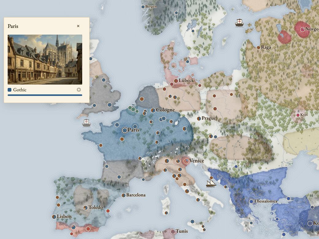
Solid colour means a style is the dominant mode; lines mean it is partial or patchy. Two styles over the same ground are a transition, the old idiom still running while the new one arrives. Pioneer cities that adopt a style ahead of their hinterland are marked on the city, while the region keeps the old colour until the typical town switches.
Story mode
A map can carry a story: captioned boxes with arrows to the places a turning point happened, shown while the year is near it. Played through, the timeline rests on each one long enough to read it.
Views
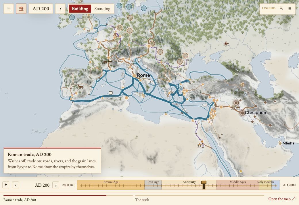
Under every map lies the same geography, and it can be played on its own: trade by road, river, sea, and rail; population; seasonal temperature and rain; ice sheets and the shelf seas the rising water took. With the style colours off, each layer can be viewed alone.
How it's built
Engine
One generic engine
Rendering
Painted on the GPU
Geography
Shared geography
Tooling
Validation tools
The five maps
Each picture is a single year on the live site, most with a town's card open.
Architectural styles
2800 BC – today · shown at AD 1250
Clothing styles
2800 BC – today · shown at AD 1500
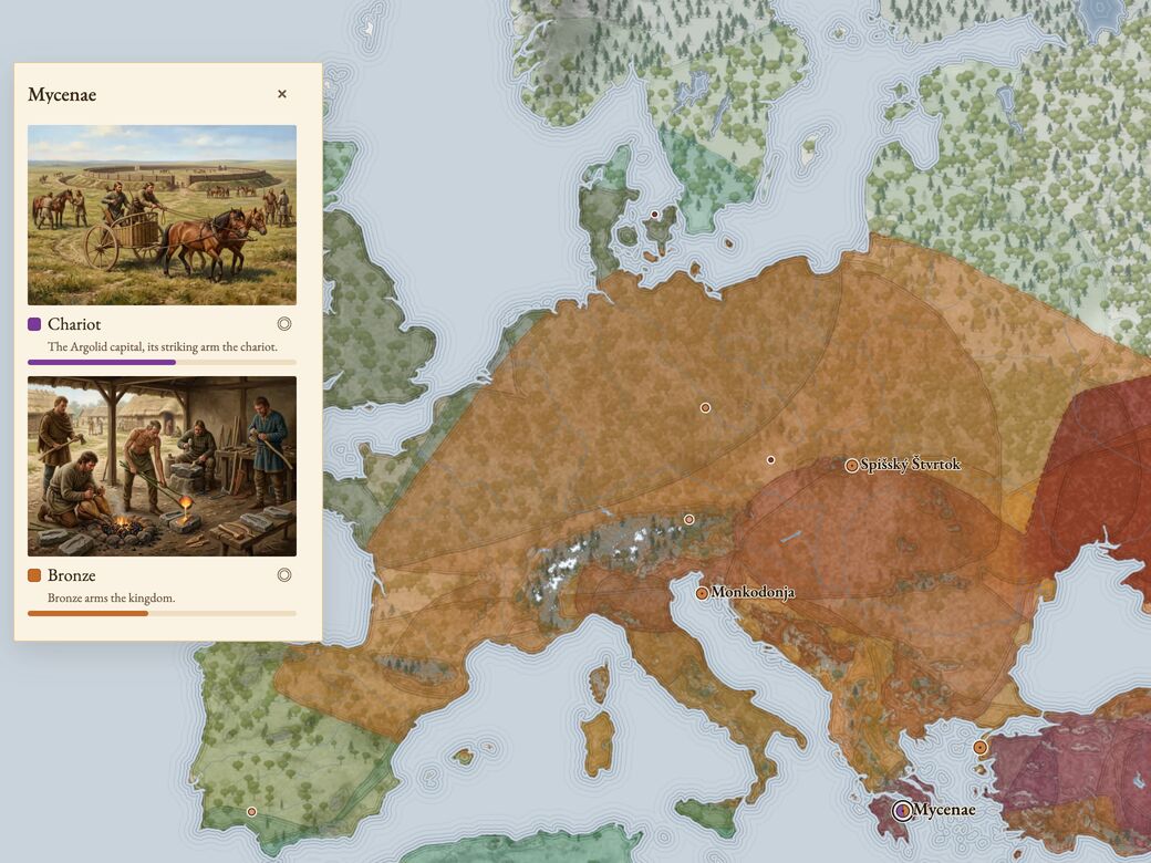
Technologies
8000 BC – today · shown at 1500 BC
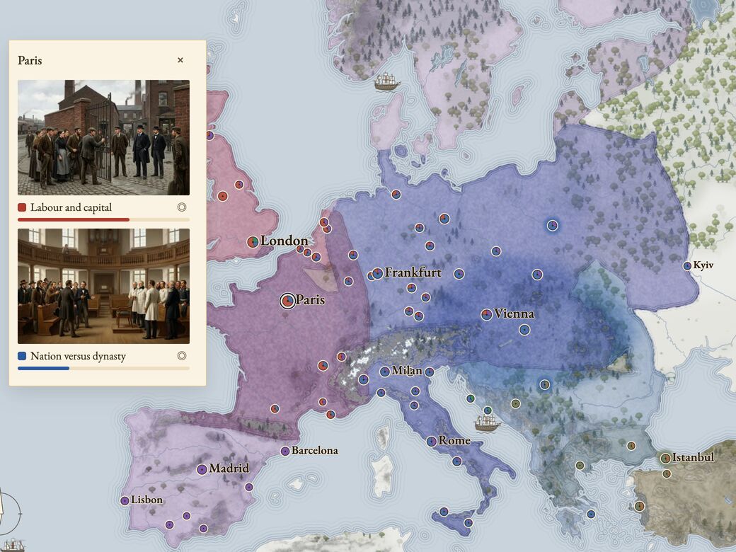
Political spectra
600 BC – today · shown at AD 1848
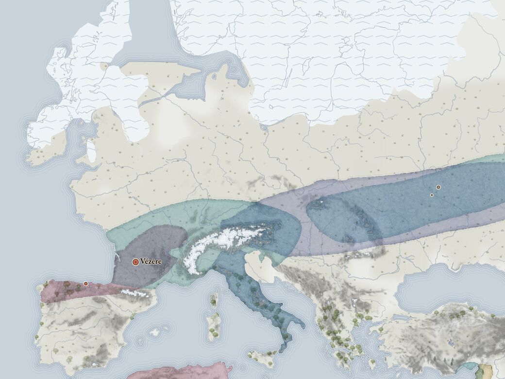
Upper Paleolithic
60,000 – 8000 BC · shown at 15,000 BC